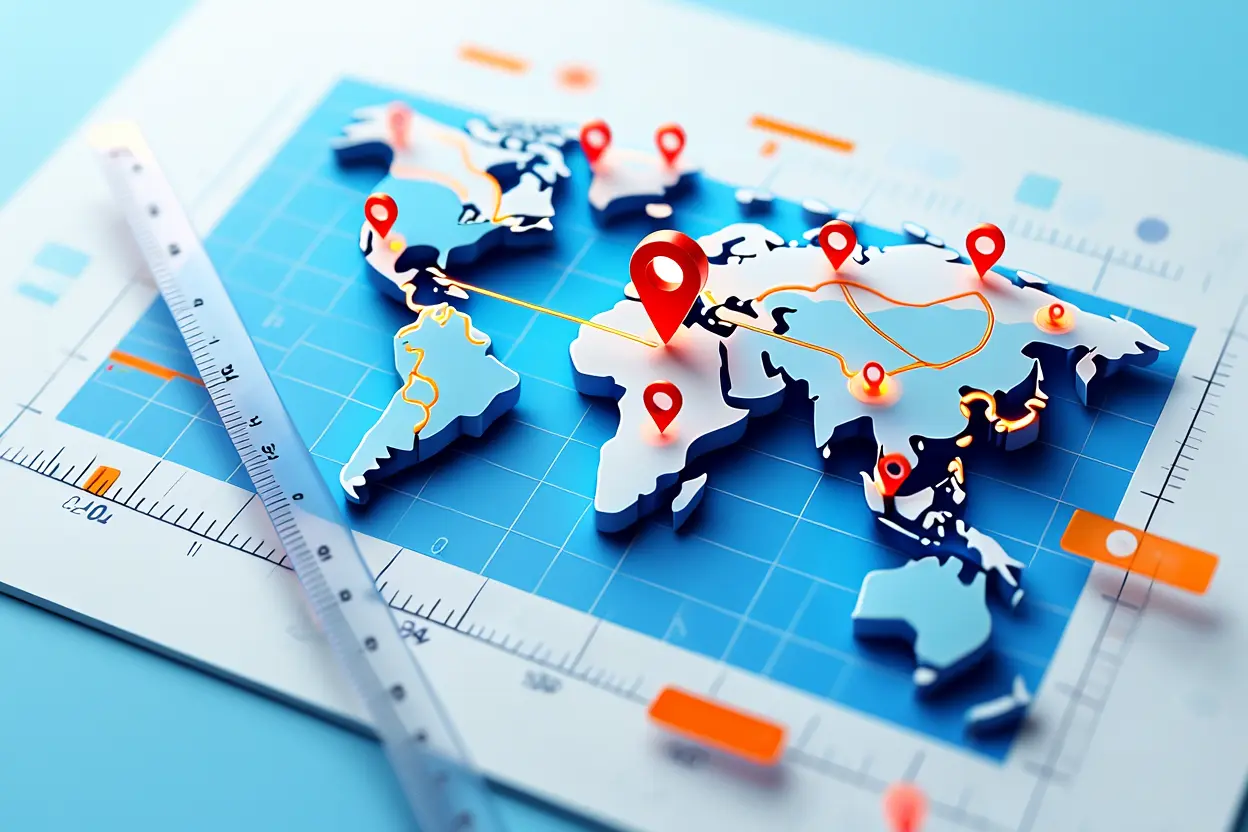
If you have ever tried to figure out how far it is between two cities, how many acres are in an oddly shaped piece of land, or what the best driving route would be for a road trip with six stops, you have probably wished for a better tool than guessing. That is exactly what these mapping tools do. It takes the guesswork out of measuring the real world, turning questions about distance, area, and routes into instant answers. That is the core promise of every good map calculator.
It is any online tool that performs measurements on a map — distance between points, area of a drawn shape, elevation along a path, or the optimal route between multiple destinations. These tools have quietly become essential for everyone from hikers planning trails to real estate buyers checking lot sizes to delivery drivers optimizing their daily routes. In this guide, I will walk you through the best options available in 2026, what each one does well, and how to pick the right one for your specific need.
What Exactly Can a Map Calculator Do?
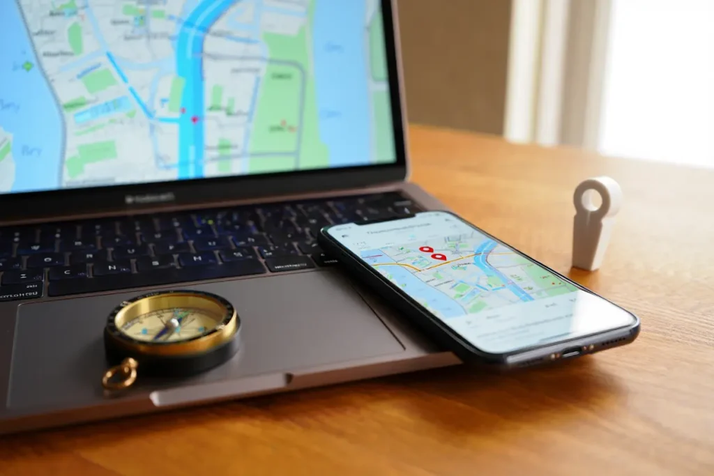
Most people think of these tools as simple distance aids — click two points, get a number. And yes, that is the core function. But modern versions do far more than that, and understanding the full range of features helps you pick the right tool instead of settling for the first one you find.
Distance measurement is the foundation. You drop pins or draw a line on the map, and the tool tells you how far apart those points are. Good tools offer multiple units (miles, kilometers, feet, meters), account for the curvature of the earth on long distances, and let you measure along roads or as a straight line. The difference matters: the straight-line distance between two cities might be 200 miles, but the driving distance could be 260.
Area measurement is the second major function. Draw a polygon around any shape — a property boundary, a farm field, a construction site — and the tool calculates the area in acres, hectares, square feet, or square meters. This is enormously useful for real estate, agriculture, landscaping, and construction planning. Instead of hiring a surveyor for a rough estimate, you can get within a few percent in under a minute.
Route planning takes things further. Enter multiple stops, and a route-planning tool figures out the most efficient order to visit them along with total distance and estimated travel time. Delivery drivers, salespeople, and road-trippers use this constantly. Some tools even factor in traffic patterns, toll roads, and vehicle type.
Elevation profiles are a less-known but powerful feature. Draw a path — a hiking trail, a bike route, a proposed road — and the tool shows you the elevation changes along the way. Hikers use this to gauge difficulty. Cyclists use it to avoid brutal climbs. Engineers use it for preliminary route feasibility. If you have ever been surprised by a hill that did not look bad on a flat map, an elevation profile would have warned you.
Coordinate conversion rounds out the feature set. Different industries use different coordinate systems — latitude/longitude, UTM, what3words, plus codes — and a good converter handles them instantly. This matters for surveying, emergency services, outdoor recreation, and anyone working with GPS data across different platforms.
map calculator: Best Tools for Distance Measurement
When you need to know how far it is from point A to point B, these are the tools that do it best. Each has strengths depending on whether you want driving distance, straight-line distance, or walking and cycling routes.
map calculator: Google Maps Measure Distance
Built right into Google Maps, the measure distance feature is the built-in tool most people already have but do not know about. Right-click anywhere on the map and select “Measure distance,” then click to add points. It calculates straight-line distance between each point and gives you a running total. It is fast, free, and uses Google’s excellent map data.
The strength here is convenience. You are probably already using Google Maps, so there is nothing to install and no new interface to learn. The satellite view is detailed, the search is excellent for finding starting points, and it works well on mobile. For quick “how far is it” questions, this built-in map calculator is often all you need.
The limitation is that it only does straight-line distance. If you need driving distance, use Google Maps’ regular directions feature instead — enter your start and end points, and it gives you the road distance along with travel time. Between the two features, Google covers most casual distance measurement needs without any extra tools.
map calculator: GPS Visualizer
GPS Visualizer is a free, no-account-needed utility that has been quietly serving map nerds for years. Its distance calculator lets you enter coordinates or click points on a map, and it computes great-circle distance (the shortest path over the earth’s surface) with impressive precision. It also converts between coordinate formats, which makes it popular with hikers, geocachers, and surveyors.
What sets it apart is flexibility. You can paste in a list of coordinates from a GPS device, draw on the map, or type place names. It handles batch calculations — distances between dozens of point pairs at once — which is useful for logistics and research. The interface looks dated, but the math underneath is solid. As a free map calculator, it is hard to beat for coordinate work.
map calculator: Map Developers Distance Calculator
Map Developers offers a clean, focused distance calculator that shows both straight-line and driving distances side by side. Enter two addresses or drop pins, and you immediately see the “as the crow flies” distance versus the actual road distance. This side-by-side comparison is surprisingly useful for understanding how much extra travel the road network adds.
The tool also displays the bearing and compass direction between points, which appeals to pilots, sailors, and outdoor enthusiasts. It is ad-supported but not obnoxiously so, and it works well on phones. For anyone who regularly needs quick distance checks with a bit more detail than Google’s basic offering, this map calculator is a solid bookmark.
map calculator: Best Tools for Area Measurement
Measuring the area of an irregular shape on a map is one of those tasks that sounds simple until you try it without the right tool. These options make it easy, whether you are checking a property listing or planning a construction project.
map calculator: Google Earth Pro Area Tool
Google Earth Pro — free for everyone since 2015 — has an excellent polygon measurement tool. Draw any shape on the satellite imagery, and it instantly reports the perimeter and area in your choice of units. The high-resolution imagery means you can trace property boundaries, fields, or building footprints with good precision.
The real advantage is the 3D terrain. Because Google Earth understands elevation, its area calculations account for slopes rather than just flat map area. On hilly terrain, the true surface area can be significantly larger than the flat projection, and Google Earth gets this right. For anyone measuring land in non-flat areas, this matters.
You can also save your measurements, export them as KML files, and share them with others. This makes Google Earth Pro useful for collaborative projects — a contractor can mark up a site and send the measurements to a client. The desktop application is the most capable version, though the web version handles basic area measurement fine.
Map Area Calculator (DaftLogic)
DaftLogic’s map area calculator is a browser-based tool purpose-built for one job: drawing shapes on a map and getting their area. Click to place polygon corners, double-click to finish, and the area appears instantly in acres, hectares, square kilometers, square miles, square feet, and square meters simultaneously. No unit conversion needed. It is one of the simplest map calculator designs available.
It is refreshingly simple. There is no account, no download, no tutorial required. The map is familiar Google Maps imagery, so tracing a property boundary or a field feels natural. You can draw multiple polygons and it totals them, which is handy for measuring several parcels or non-contiguous areas at once.
Accuracy is good for estimation purposes — typically within a few percent of professional surveys for clearly visible boundaries. It is not a replacement for a licensed surveyor when legal precision matters, but for “roughly how big is this lot” or “about how many acres is that field,” it is fast and reliable.
GPS Fields Area Measure (Mobile)
For measuring area on the ground rather than from satellite imagery, GPS Fields Area Measure turns your phone into a surveying tool. Walk or drive the perimeter of any area with the app running, and it uses your phone’s GPS to trace the boundary and calculate the enclosed area in real time. Farmers, landscapers, and construction crews use this daily.
The app works offline, which matters in rural areas without cell service — it uses raw GPS satellites, not data connections. You can also draw on the map manually for areas you cannot physically walk, save unlimited measurements with names and notes, and export everything for records or sharing. The free version is surprisingly capable; the paid version adds team sharing and advanced export options. For field professionals, this map calculator earns its place on the home screen.
Best Tools for Route Planning
When your problem involves multiple stops and finding the best order to visit them, you need a route-planning utility. These tools solve what mathematicians call the traveling salesman problem — and they do it in seconds.
Google Maps Multi-Stop Directions
Google Maps supports up to ten stops per route (including start and end), and it is the easiest option for simple multi-stop trips. Add your destinations, drag to reorder them, and Google calculates the route with live traffic. It is perfect for errands, day trips, and small delivery runs.
The limitation is that Google does not automatically optimize the stop order — you arrange them yourself. For fewer than ten stops where you roughly know the geography, manual ordering works fine. Drag stops around and watch the total time update until you find the best sequence. It is intuitive and uses the traffic data you already trust.
RouteXL
RouteXL is a dedicated route optimization tool that automatically finds the best order for up to 20 stops on the free plan. Enter addresses, and it calculates the shortest route visiting all of them, then exports turn-by-turn directions. Delivery drivers, field service technicians, and traveling salespeople swear by it.
The optimization actually works. Users regularly report saving 20 to 30 percent on drive time compared to visiting stops in the order they were assigned. The tool considers real road networks, not straight lines, so the optimized route is genuinely drivable. Paid plans raise the stop limit and add features like time windows and vehicle constraints for professional logistics.
Circuit Route Planner
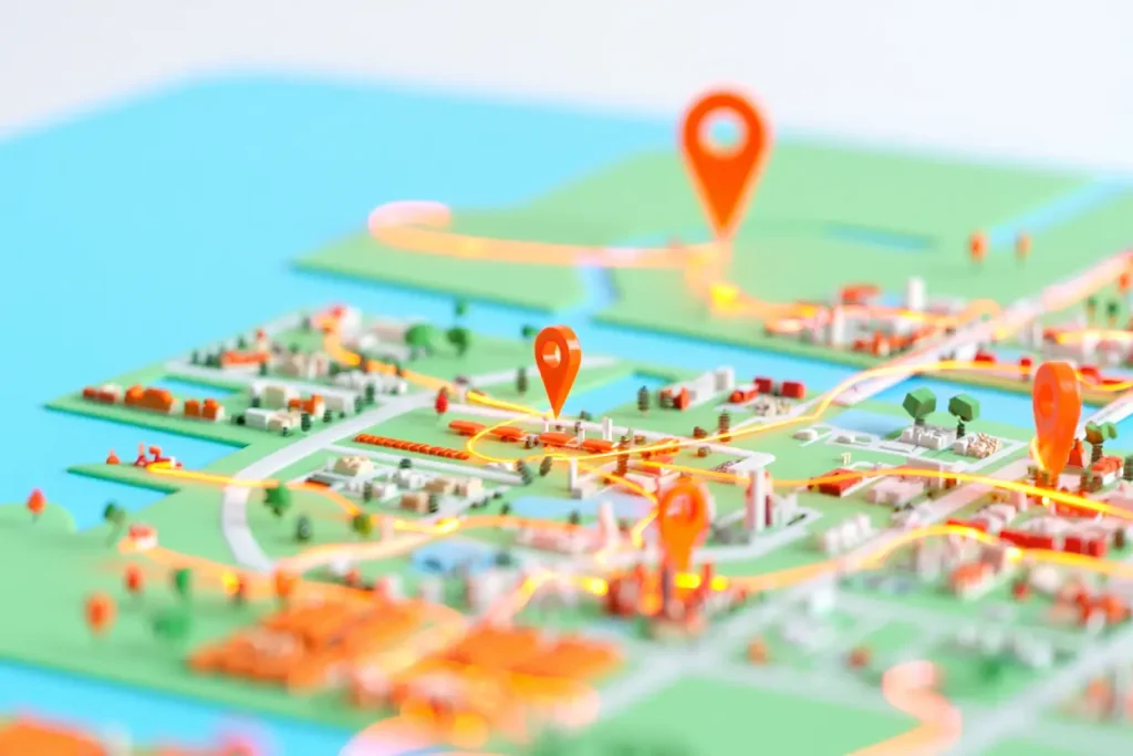
Circuit is a mobile-first route planner designed for delivery drivers. Enter or import your stops, and it optimizes the route, provides turn-by-turn navigation, and lets you check off deliveries as you go. It also handles practical details like prioritizing time-sensitive stops and avoiding tolls or highways on request.
What makes Circuit stand out is the driver-focused workflow. You can photograph proof of delivery, add notes per stop, and share your live location with dispatch or customers. For anyone doing more than a handful of deliveries regularly, the combination of optimization and delivery management in one app is hard to beat.
Specialized Mapping Tools Worth Knowing
Beyond the mainstream options, several specialized tools serve specific professions and hobbies particularly well. If the general tools above do not quite fit your use case, one of these probably will.
FreeMapTools
FreeMapTools is a collection of single-purpose utilities — radius maps, elevation finders, coordinate converters, and area calculators — each doing one job well. The “draw a radius” tool is especially popular: enter an address and a distance, and it draws a circle showing everything within that range. Recruiters use it for commute analysis, businesses use it for service area mapping, and homebuyers use it to check what is within walking distance of a potential new home.
The site is plain-looking but fast and functional. Each tool loads quickly, works on mobile, and requires no account. When you need a specific measurement and do not want to learn a complex GIS application, FreeMapTools is often the fastest path from question to answer.
CalcMaps
CalcMaps combines area calculation with useful extras like population estimates within a drawn area, which is valuable for market research and site selection. Draw a polygon around a neighborhood, and it estimates how many people live inside it. Businesses evaluating new locations use this for quick demographic sanity checks before commissioning expensive formal studies.
The area measurement itself is solid, with the familiar draw-and-measure workflow. But the demographic overlay is what makes CalcMaps worth knowing about. It turns a simple measuring tool into a lightweight business intelligence tool, and the basic features are free.
OnTheGoMap
OnTheGoMap started as a running route planner and has grown into a versatile distance and elevation tool. Draw a running, cycling, or walking route by clicking along roads and trails, and it gives you distance plus a detailed elevation profile. The “out and back” and loop detection features automatically complete your route, which runners love.
The elevation data is the star here. The profile shows exactly where the hills are, how steep they get, and how much total climbing a route involves. Cyclists planning rides and runners training for hilly races rely on this to avoid unpleasant surprises. It is free, works great on phones, and the interface is cleaner than most competitors.
How to Choose the Right Map Calculator
With so many options, picking the right tool comes down to matching the tool to your specific task. Here is how to think about it.
First, identify what you are actually measuring. Distance between two points? Use Google Maps measure distance or Map Developers for quick checks. Area of a property or field? Google Earth Pro or DaftLogic. Multiple stops in the best order? RouteXL or Circuit. Elevation along a trail? OnTheGoMap. Starting from the measurement type narrows the field immediately.
Second, consider how often you will use it. For one-off questions, a free browser tool with no account is ideal — you get your answer in thirty seconds and move on. For daily professional use, it is worth investing time in a more capable tool (or a paid plan) that saves your work, exports data, and integrates with your workflow. A delivery driver doing fifty stops a day needs Circuit; someone planning one road trip does not.
Third, think about precision requirements. Estimating a backyard for a landscaping quote? A browser-based measuring tool is plenty accurate. Defining a legal property boundary? Hire a surveyor — no online tool replaces licensed professional measurement for legal purposes. Understanding this boundary keeps you from either overpaying for precision you do not need or relying on estimates where precision matters.
Fourth, check mobile versus desktop needs. Field work — measuring land, navigating deliveries, tracing trails — demands a good mobile app that works offline. Desk work — planning, research, analysis — is better on a desktop with a big screen and precise mouse control. Some tools excel at one and are mediocre at the other, so match the tool to where you will actually use it.
Tips for Accurate Measurements
Any measuring tool is only as accurate as the inputs you give it, so a few habits will noticeably improve your results. These tips apply regardless of which one you choose.

Zoom in before placing points. At low zoom levels, a single pixel can represent dozens of meters, so a slightly misplaced click introduces real error. Zoom to the maximum useful level before dropping pins or tracing boundaries. For area measurements, trace slowly along visible edges rather than clicking a few rough corners — more points means a more faithful outline.
Use satellite view for area measurements. Map view simplifies and stylizes features, which is fine for navigation but imprecise for measurement. Satellite imagery shows the actual ground — fence lines, field edges, building footprints — so you can trace what is really there instead of a cartographer’s approximation.
Understand what “distance” means in context. Straight-line distance is always shorter than road distance, sometimes dramatically. If you are estimating travel, always use road distance. If you are estimating radio range, drone flight, or line-of-sight, straight-line is correct. Mixing them up is the most common measurement mistake people make.
Calibrate with known distances when precision matters. Measure something you know — a standard running track, a football field, your property’s documented dimensions — and compare the tool’s result to reality. This tells you the tool’s accuracy in your area and builds confidence in measurements where you cannot verify independently.
Save and label your work. Most capable tools let you save measurements with names and notes. Do this. A measurement without context — “what was this polygon for?” — is useless a month later. Spend ten seconds labeling and you will thank yourself when you revisit the project.
When you’re getting started with map calculator, the biggest mistake is trying to do everything at once. The people who get the best results from map calculator start small, focus on one specific goal, and build from there. Think of map calculator as a skill you develop over time, not a switch you flip. Each week you spend working with map calculator, you’ll notice patterns in what works and what doesn’t.
Not every approach to map calculator is right for every person. Your budget, your experience level, and your end goal all shape which map calculator strategy makes sense for you. Someone exploring map calculator for the first time needs different guidance than someone who’s been using map calculator for months. The advice below assumes you’re past the absolute basics but still figuring out the details.
When you’re getting started with map calculator, the biggest mistake is trying to do everything at once. The people who get the best results from map calculator start small, focus on one specific goal, and build from there. Think of map calculator as a skill you develop over time, not a switch you flip. Each week you spend working with map calculator, you’ll notice patterns in what works and what doesn’t.
Not every approach to map calculator is right for every person. Your budget, your experience level, and your end goal all shape which map calculator strategy makes sense for you. Someone exploring map calculator for the first time needs different guidance than someone who’s been using map calculator for months. The advice below assumes you’re past the absolute basics but still figuring out the details.
Common Questions About Map Calculators
Are online map calculators accurate enough for real decisions?
For estimation and planning, yes. Browser-based tools using quality map data are typically within 1 to 5 percent of professional measurements for clearly visible features. That is plenty for landscaping quotes, hiking plans, delivery routing, and property research. For legal boundaries, construction staking, or anything requiring certified precision, hire a licensed surveyor. The online estimate tells you roughly; the surveyor tells you exactly.
Do I need to pay for a good one?
No. Every core function — distance, area, route planning for reasonable stop counts, elevation profiles — is available free. Paid plans exist for professional features like unlimited stops, team collaboration, API access, and advanced exports. Start free; upgrade only if you hit a specific limit that matters for your work.
Can I use these tools offline?
Some mobile apps work offline using GPS satellites and cached maps. GPS Fields Area Measure, for example, measures area with no data connection. Browser-based tools generally need internet access to load map tiles. If you work in areas without coverage, download an offline-capable app and cache your map region before heading out.
What is the difference between straight-line and driving distance?
Straight-line (great-circle) distance is the shortest path over the earth’s surface between two points — “as the crow flies.” Driving distance follows the road network and is always longer, sometimes much longer in areas with mountains, water, or sparse roads. A good tool shows both so you can use the right one for your purpose.
The right tool turns spatial questions into instant answers. Whether you are measuring a property, planning a route, or just settling a debate about how far apart two places really are, there is a free option that does exactly what you need. Bookmark two or three from this guide — one for distance, one for area, one for routes — and you will wonder how you ever managed without them.